
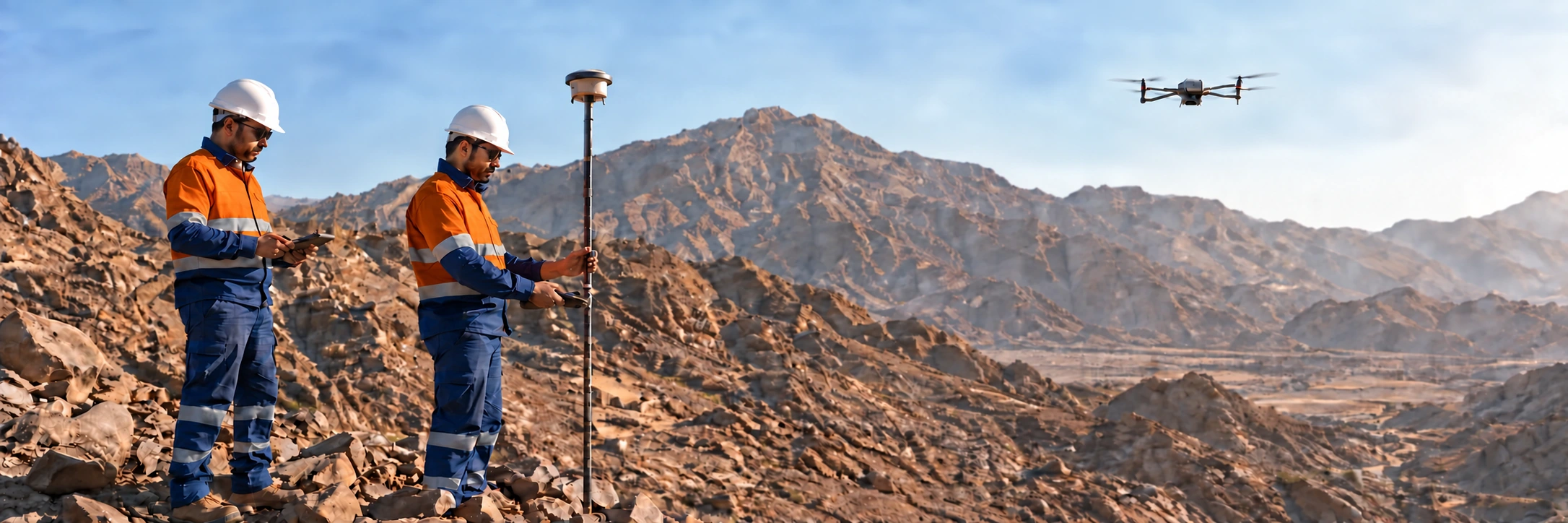
Exploration surveying and drone mapping in Saudi Arabia
Spatial confidence from the field upward.
Discuss your programme ↓Takween provides surveying and remote sensing for mineral exploration across Saudi Arabia. Accurate survey control, GNSS collar pickup and UAV (drone) mapping give every sample, drill hole and map a reliable position, and support better targeting, safer mobilisation and dependable reporting.
Survey control and collar pickup
Every drill collar, sample point and map needs a trusted position. We establish survey control and use GNSS positioning to pick up planned and drilled collars, so holes sit where they really are in your database and models.
Drone surveys and high-resolution imagery
UAV (drone) mapping captures high-resolution imagery and terrain models over exploration licences quickly and safely. It supports geological mapping, access and pad planning, and mobilisation in remote terrain.
Topographic surveys and remote sensing
Topographic and control surveys give an accurate base for planning and reporting. Remote sensing adds a wider view of the terrain that helps teams plan fieldwork and focus on the most promising ground.
GIS-ready deliverables
Survey data is delivered GIS-ready and flows straight into our exploration data and modelling workflow and the work of our geologists.
Safe work in remote terrain
Survey crews often work ahead of the drill rigs, in remote and demanding terrain. Journey management, heat-stress controls and remote-area emergency preparedness are part of every survey plan, and drone mapping reduces the time people spend on steep or unstable ground.
Part of one exploration workflow
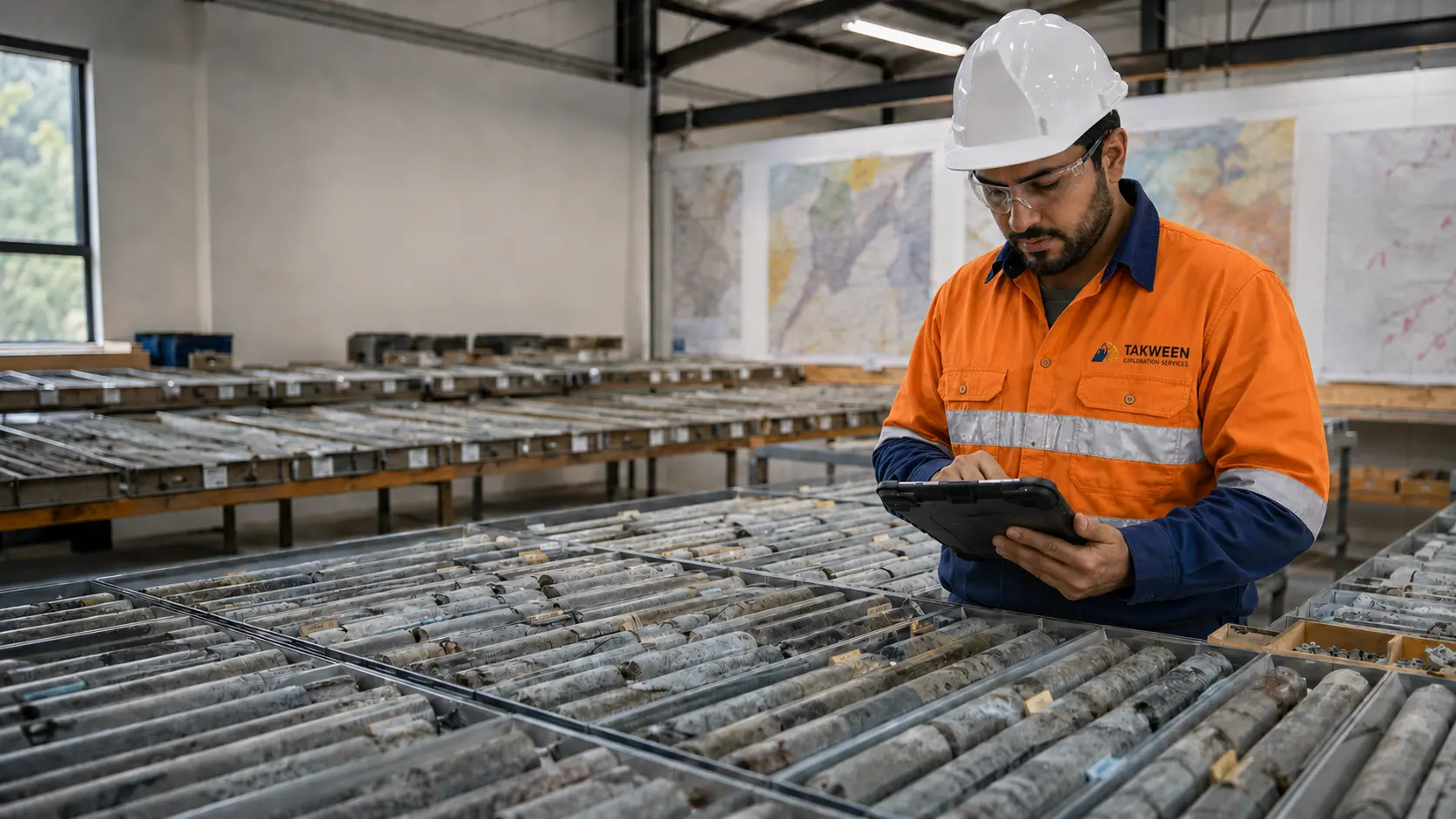
Because Takween also drills, logs and manages samples and data, survey work is scheduled around the rest of the programme. Collar positions reach the database quickly, and maps stay consistent from the first survey to the final report.
Talk to our survey team
Contact us to plan survey control, collar pickup or drone mapping for your programme.
Start a conversation
Your next programme deserves one accountable partner.
Tell us where your programme stands and what you need next. Your enquiry goes straight to our team.
- Emailinfo@takween-sa.com
- Phone+966 17 544 3900